CarbonEye and QuickCapture
From the field to the satellite — every observation, connected.
High-integrity forest conservation requires two layers of monitoring working together: the view from above, and the view from the ground. Carbonext developed CarbonEye for satellite-based remote monitoring, and configured QuickCapture for field data collection — two tools that, when combined, transform isolated observations into traceable, structured information for project management and verification.
A Forest Watched from Space
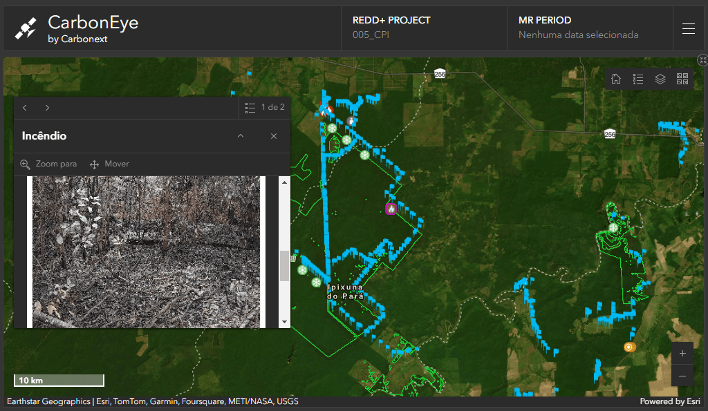
CarbonEye is Carbonext's proprietary remote monitoring platform, developed in partnership with Google Accelerator for Startups. Based on Sentinel-2 satellite imagery, it scans project areas with a frequency of up to seven days — detecting alerts of deforestation and forest degradation and presenting them in a georeferenced interface accessible to project managers. In projects like OGA REDD+, this continuous coverage resulted in zero deforestation alerts over more than two years of monitoring, a direct outcome of the combined action of remote surveillance and field response.
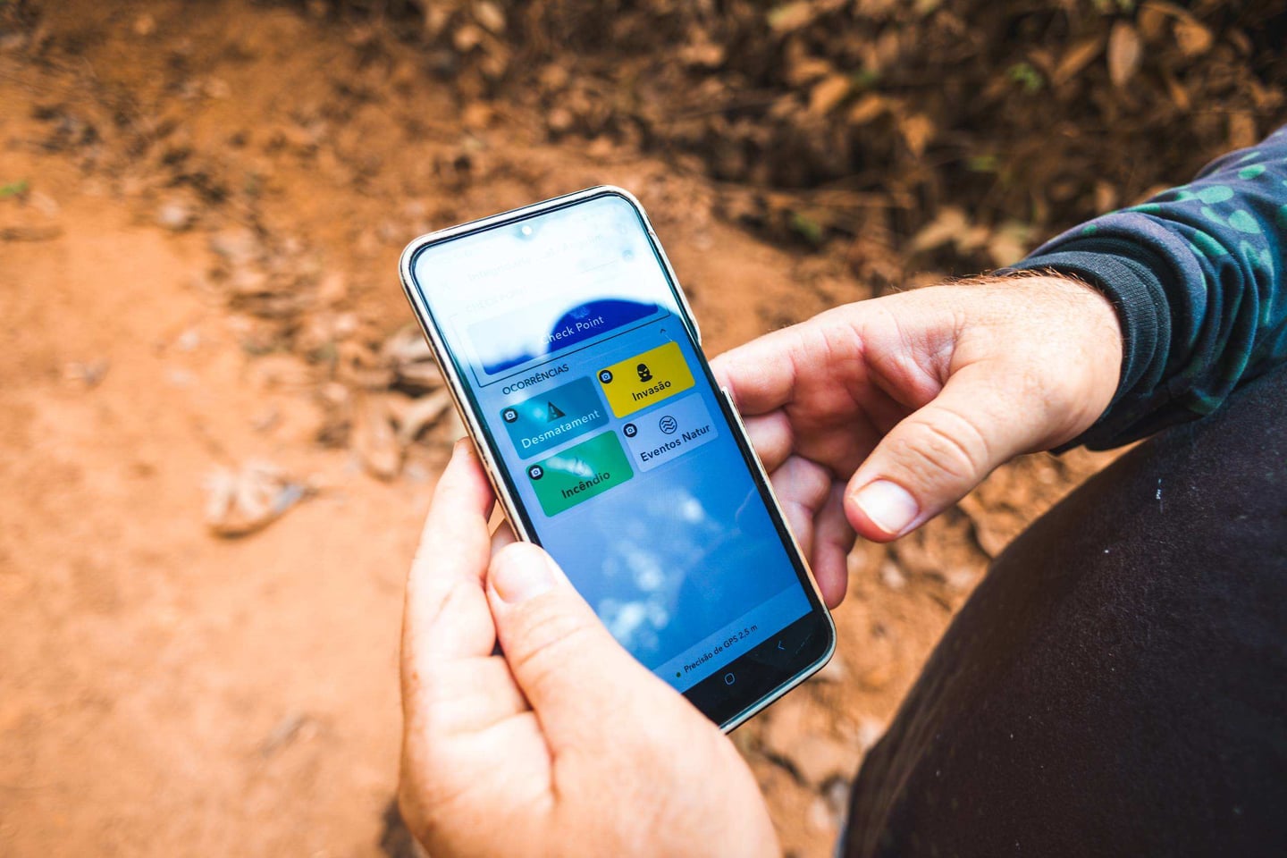
One Tap. Geotagged. Instant Alert.
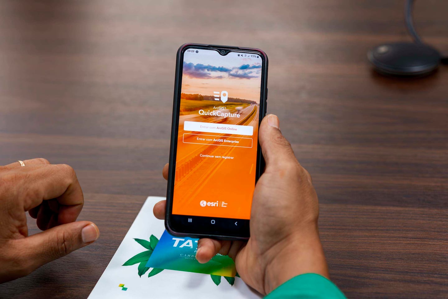
In the field, Carbonext's monitoring agents use QuickCapture — an ArcGIS application configured specifically for forest integrity monitoring. With a single tap, they can register occurrences such as deforestation, fire, illegal access, invasions, or natural events like flooding and erosion, attaching photos and GPS coordinates automatically. The app works even without an internet connection, synchronizing data as soon as connectivity is restored. Each record triggers an immediate alert to the Carbonext team, who can then activate the appropriate response — including the fire brigade when needed.
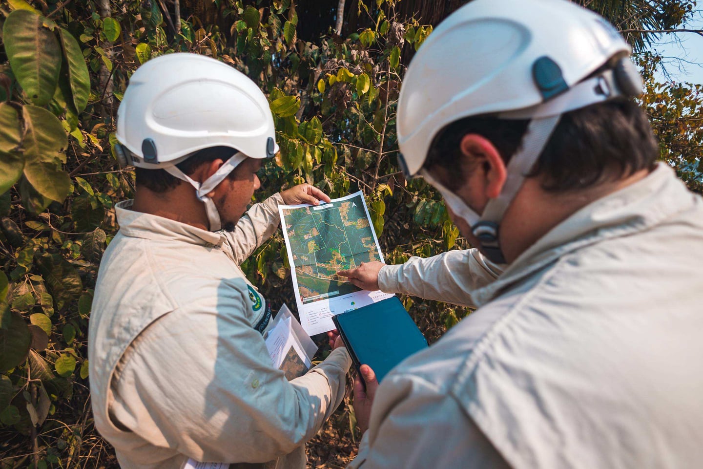
When Field and Satellite Data Talk to Each Other
The data collected via QuickCapture is sent automatically to an internal database that feeds CarbonEye, creating a unified monitoring loop. What is seen on the ground confirms or contextualizes what the satellite detects — and vice versa. This integration increases the robustness of the evidence base used for MRV (Monitoring, Reporting and Verification), makes records fully traceable, and gives project managers a more complete picture of what is happening across each territory. When field presence connects with traceability tools, the project gains robustness and transparency.
CarbonEye and QuickCapture in Action


Carbonext's monitoring technology at work in the projects
Explore Our Projects
Carbonext develops and monitors several REDD+ projects in the Amazon.